When it comes to choosing a reliable marine navigation app, two names frequently stand out: iNavX and Navionics. Both are popular among sailors, boaters, and anglers, offering robust features to help with planning, navigating, and avoiding hazards at sea. But how do they stack up against each other in terms of performance, functionality, and user experience?
This post offers a clear comparison of inavx vs navionics, helping you determine which marine navigation solution suits your needs better, whether you’re cruising offshore or exploring inland waterways.
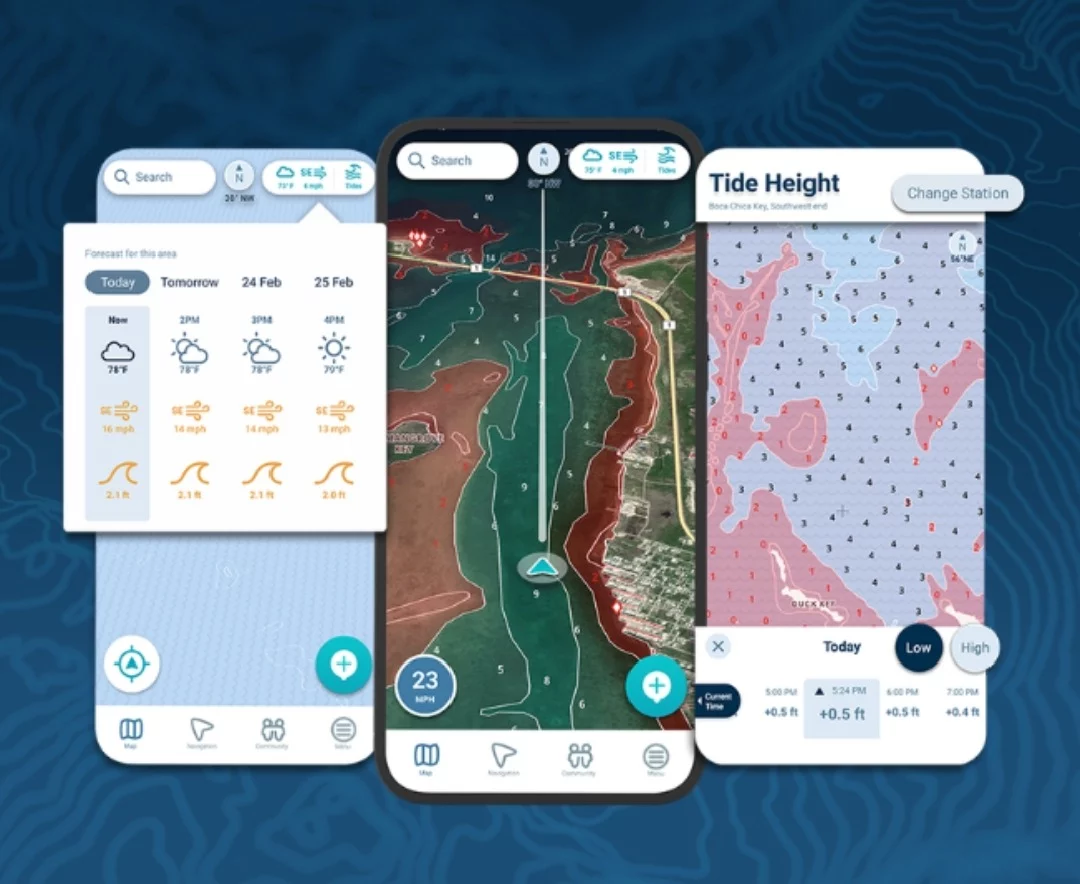
Interface and Usability
Navionics is often praised for its clean, intuitive interface that works well for both beginners and seasoned mariners. Its SonarChart, nautical chart layers, and community edits are easy to toggle, making route planning seamless. Navionics also supports auto-routing, a convenient feature that plots the safest and most efficient path based on your boat’s specifications.
iNavX, on the other hand, leans more towards the power user. The interface can appear dated or complex for beginners, but it allows for advanced chart layering, integration with multiple chart providers, and a high level of customization. Users who appreciate detailed control over every navigation aspect often find iNavX appealing.
Chart Sources and Compatibility
One of the biggest differences between the two is how they handle chart data.
- Navionics relies on its proprietary chart database, which includes frequent updates and contributions from its global community. This is particularly useful for discovering updated information about depths, hazards, and points of interest.
- iNavX, meanwhile, acts as a chart viewer and supports multiple third-party chart sources such as NOAA, Blue Latitude, and Fugawi. This flexibility allows users to choose charts tailored to specific regions or preferences, which is especially valuable for international cruisers.
This flexibility has led many to pair iNavX with official NOAA raster charts, especially for U.S. coastal navigation.
Offline Use and Global Coverage
Both apps support offline chart access, which is essential for sailors heading into remote areas with limited connectivity.
Navionics allows users to download regions and retain full functionality offline, including depth contours and SonarChart data.
iNavX also offers offline chart use, but excels in global coverage thanks to its compatibility with various chart vendors. This makes it a better choice for world cruisers or those navigating beyond common boating routes.
AIS and Instrument Integration
When it comes to integrating real-time navigation data, iNavX stands out. It can connect to AIS receivers, GPS units, and NMEA data streams to display real-time vessel positions, depth readings, wind data, and more. This integration is highly valued by professional mariners and offshore sailors who depend on precise, real-time information.
Navionics offers AIS overlays through its partnership with Garmin and can display nearby vessel information if connected to a compatible AIS device. However, its real-time data integration isn’t as robust or flexible as iNavX.
Weather and Routing
Navionics includes basic weather features like tide predictions and wind forecasts, especially when connected online. Auto-routing is a standout feature—it uses detailed data to avoid shallow areas and restricted zones when plotting your course.
iNavX, by contrast, allows users to import GRIB weather files for offshore forecasting. This can be a game-changer for long-distance cruisers needing more detailed wind, swell, and barometric pressure forecasts.
For those sailing in unpredictable climates, understanding GRIB weather data can dramatically improve navigation and safety planning.
Community Contributions and Social Features
One area where Navionics shines is its integration of community data. Boaters can share updates, report hazards, and recommend anchorages through its ActiveCaptain and Community Edits features. This makes it a more dynamic app, continuously updated by real users.
iNavX does not have a built-in community feature, though users can share waypoints and routes manually.
Pricing and Subscriptions
Both apps require a subscription model, but the pricing structures differ:
- Navionics typically charges annually for access to charts and updates, with regional coverage.
- iNavX charges for the app and additional chart sets separately, which can add up depending on your cruising area, but it offers more flexibility for serious navigators.
Final Verdict
Choosing between inavx vs navionics depends largely on your sailing style and technical comfort.
- Choose Navionics if you prefer an intuitive interface, real-time community updates, reliable chart quality, and auto-routing. It’s ideal for recreational boaters and coastal cruisers.
- Opt for iNavX if you need a highly customizable navigation platform with third-party chart compatibility, extensive AIS and NMEA integration, and support for GRIB weather files. It’s better suited for offshore sailors and tech-savvy users.
In the end, both apps are powerful, and many sailors choose to use them together, leveraging the strengths of each depending on the journey ahead.

Lexy Summer is a talented writer with a deep passion for the art of language and storytelling. With a background in editing and content creation, Lexy has honed her skills in crafting clear, engaging, and grammatically flawless writing.